Land Surveyors in Kawana
We support civil and commercial projects with accurate survey data, experienced surveyors and clear communication.
Professional Land Surveyors in Kawana
Next Step Surveying supports projects in Kawana with professional surveying services delivered by a local team based in Caloundra on the Sunshine Coast. As experienced land surveyors, we provide reliable survey support for residential, commercial and civil projects across the area.
Our services include property surveying, topographic surveying, engineering surveying, construction surveying and UAV scanning. We also provide pre-design surveys and mapping services, supporting projects from early planning through to construction. We focus on clear communication and survey information that is practical, accurate and ready to use.
Our team works regularly across Kawana and the surrounding Sunshine Coast, allowing us to stay familiar with site conditions and project requirements. To discuss your project, call 0494 186 100 and speak directly with our team.
Coastal Development Experience
Direct Communication
Practical Survey Data
Property Surveying in Kawana
Our team delivers property surveying in Kawana, providing clear and reliable boundary and title information to support informed decision-making. As land surveyors working regularly in the area, we take care to confirm property details accurately before plans progress or ownership matters are finalised.
Our property surveying services focus on:
- Clear identification of boundaries & extents
- Survey information suitable for planning & ownership needs
Each site is reviewed individually, with existing documentation checked and conditions confirmed on the ground. Survey outputs are prepared clearly and explained where required. This helps reduce uncertainty for land owners, consultants and project teams. Explore our property surveying services to see how we can support your project.
Topographic Surveying in Kawana
Our team provides topographic surveying in Kawana that captures site features, surface levels and physical constraints as they exist on site. This information supports design coordination and helps consultants work from accurate data. As land surveyors, we focus on delivering survey information in a clear and practical format.
Our topographic surveying services focus on:
- Detailed capture of site features & surface levels
- Survey data prepared for design & consultant coordination
Survey scope is aligned with how the information will be used during planning and design. Data is delivered in formats that integrate smoothly with consultant workflows. This supports coordination as designs develop. Learn more about our topographic surveying services and how they support informed planning.
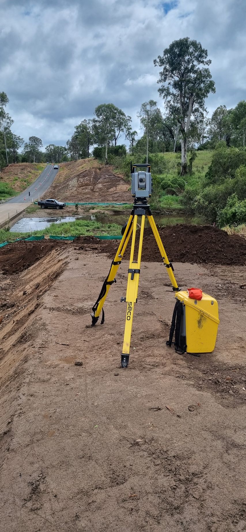
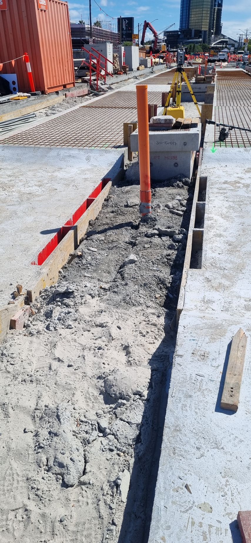
Engineering Surveying in Kawana
Our team delivers engineering surveying in Kawana to assist with set-out and verification across different build stages. As land surveyors experienced in construction environments, we understand how survey control supports alignment and build quality.
Our engineering surveying services focus on:
- Reliable control for construction set-out
- Verification to confirm alignment with design
We work closely with builders and engineers to provide survey input when it’s needed. Regular checks help maintain accuracy as work progresses. This approach supports smoother construction delivery and reduces the risk of rework. Explore our engineering surveying services to support your project.

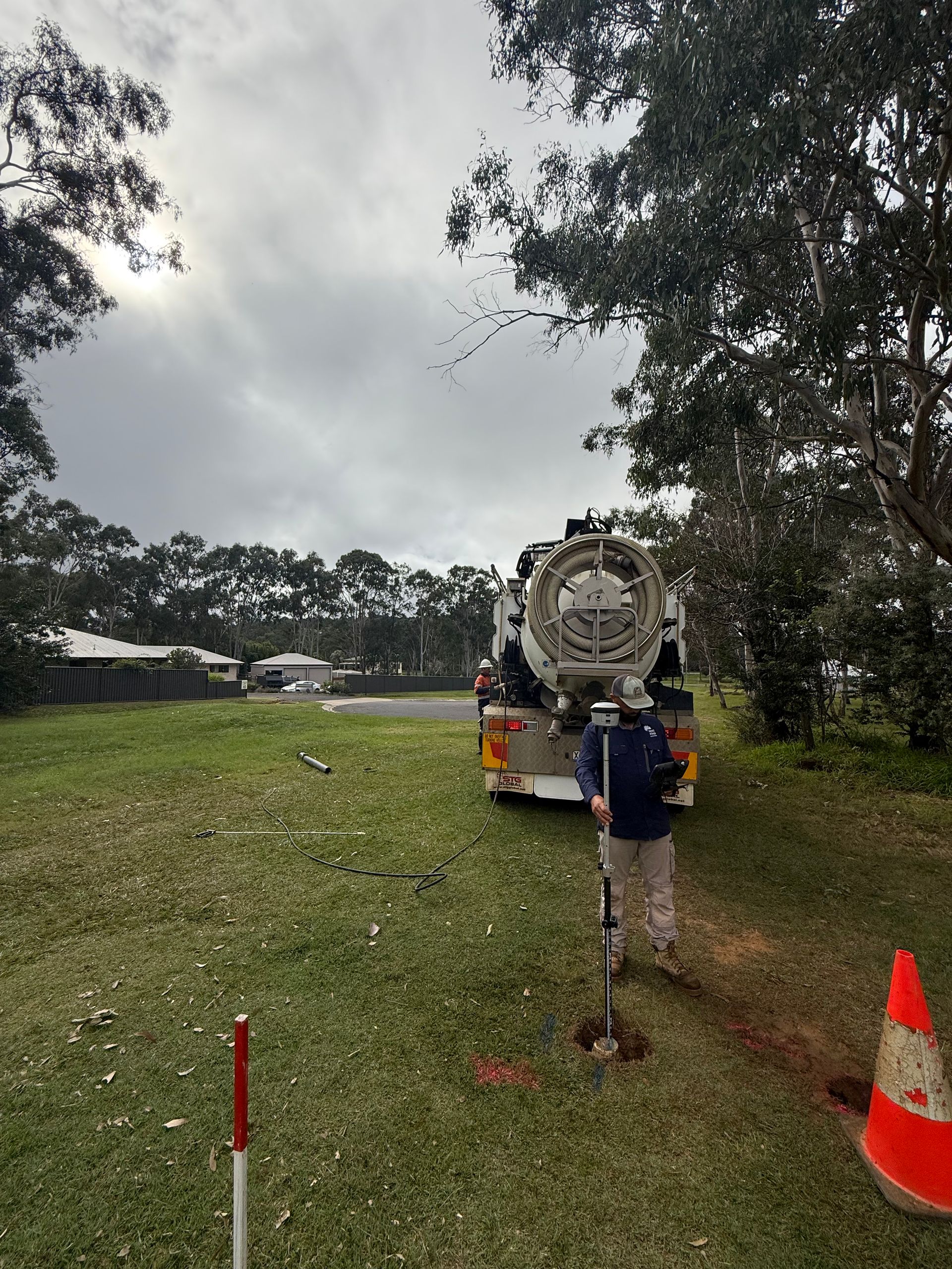
Construction Surveying in Kawana
Once construction is underway, survey support needs to remain responsive as site conditions change. Our team delivers construction surveying in Kawana that adapts to sequencing and on-site requirements throughout the build. As land surveyors working alongside site teams, we focus on practical survey outputs that support daily construction activity.
Our construction surveying services focus on:
- Accurate set-out during construction stages
- Ongoing checks to support build accuracy
We remain involved throughout the build, adjusting survey input as required. Information is delivered clearly and in a format suited to site use. This helps maintain workflow and avoid unnecessary delays. Learn more about our construction surveying services for active sites.
UAV Scanning in Kawana
UAV scanning provides an efficient way to capture detailed site information where aerial data offers added value. Our team delivers UAV scanning in Kawana to support planning, assessment and spatial analysis without disrupting site activity. As land surveyors combining aerial and ground-based methods, we focus on accuracy and usable outputs.
Our UAV scanning services are designed to provide:
- Efficient capture across large or complex sites
- Aerial data suitable for analysis & modelling
Captured data is processed and delivered in practical formats for project teams. UAV scanning complements traditional survey methods where appropriate. This approach supports clearer site visibility during planning and assessment stages. Explore our UAV scanning services to see how they can support your project.
Contact Our Team in Kawana
Planning a project in Kawana and need reliable survey support?
Get in touch with our team and we’ll help you move forward with confidence.
Contact Us
Thank you for contacting Next Step Surveying.
We will get back to you as soon as possible.
Oops, there was an error sending your message.
Please try again later.