Topographic Surveying on the Sunshine Coast & Surrounds
We support civil and commercial projects with accurate survey data, experienced surveyors and clear communication.
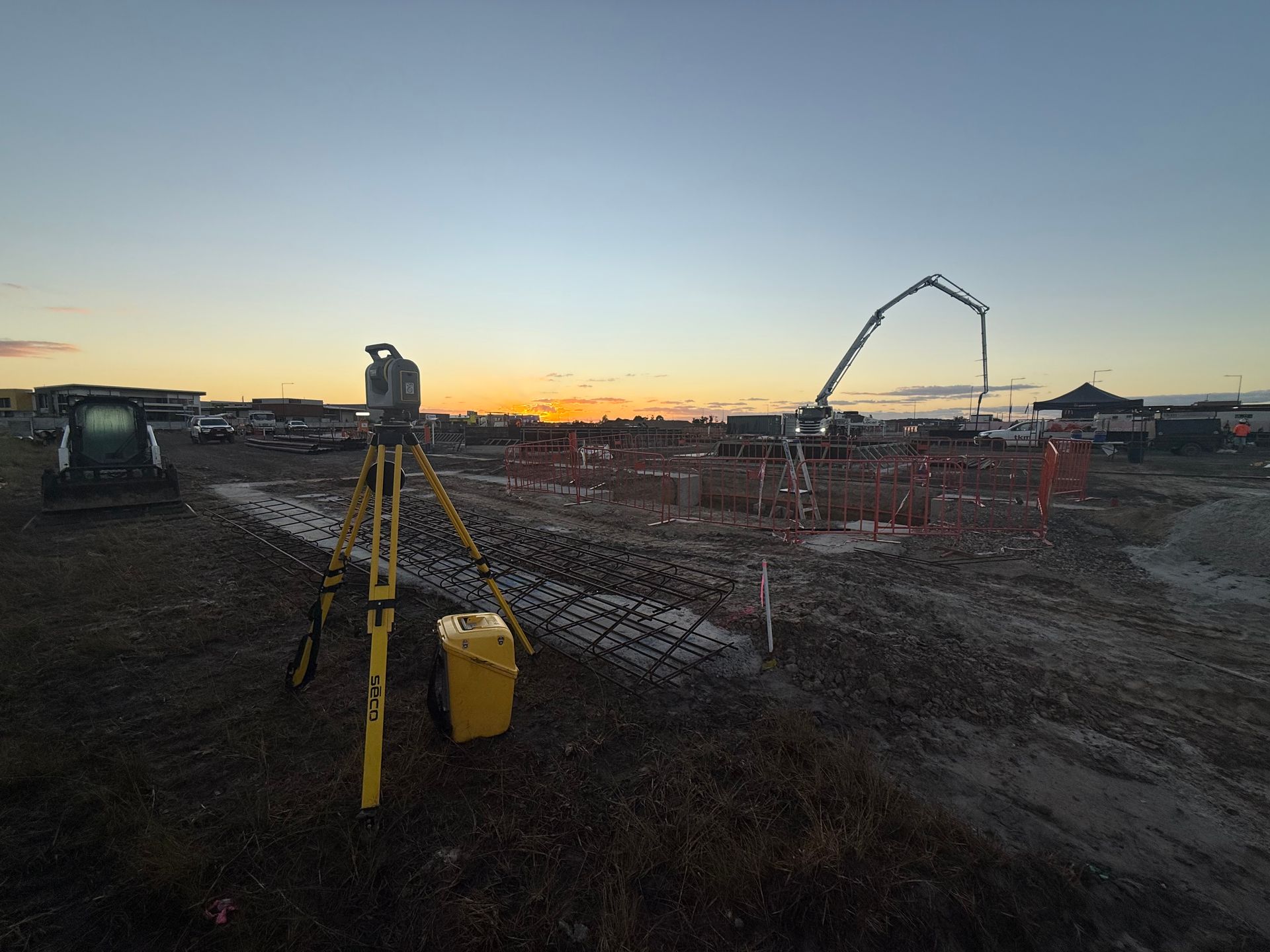
Expert Topographic Surveying Across the Sunshine Coast
Accurate site information is critical before design or construction begins. At Next Step Surveying, we provide topographic surveying on the Sunshine Coast that gives designers, engineers and project teams a clear understanding of existing site conditions. Based in Caloundra and working across South East Queensland, our team focuses on delivering survey data that reflects what is actually happening on the ground, not assumptions or outdated information. This helps reduce design conflicts and avoids costly changes later.
Our approach to topographic surveying is shaped by what project teams need most:
- Detailed site data that supports confident design
- Survey outputs formatted to suit consultant workflows
We take the time to capture site features accurately and present the information clearly. Our surveyors understand how this data is used during design coordination and approvals, which helps streamline the next stages of a project. By delivering reliable topographic surveying results, we help reduce uncertainty and keep planning moving forward. To speak with our team about your site, call 0494 186 100.
Clear Site Data For Better Design
Our topographic surveying services are tailored to support projects at the early planning and design stages. We capture natural features, surface levels and existing structures in a way that integrates smoothly with design software and consultant models. By working closely with project teams, we ensure topographic surveying data aligns with approval requirements and downstream construction needs. This attention to detail helps improve coordination and reduces the risk of design issues later.
Whether you are preparing concept designs or moving toward detailed documentation, our topographic surveying services provide a reliable foundation for informed decisions. Explore our services to learn more or get in touch to discuss your project requirements.
Detailed Site Capture
Design Ready Data
Consultant Friendly Outputs
Get in Touch
Looking for reliable topographic surveying data before design begins? Get in touch with our team and we’ll help you move forward with confidence.
Contact Us
Thank you for contacting Next Step Surveying.
We will get back to you as soon as possible.
Oops, there was an error sending your message.
Please try again later.
FAQ
What is topographic surveying used for?
Topographic surveying is used to record the existing conditions of a site before design or development begins. It captures surface levels, natural features and built elements that may affect how a site can be used. This information supports accurate planning and design decisions. Having reliable site data early helps reduce design changes and coordination issues later.
Why is topographic surveying important before design work starts?
Topographic surveying helps identify site features that can influence design decisions early. Levels, slopes and existing structures can affect building placement, drainage and access. Understanding these conditions upfront reduces the risk of redesign during later stages. Reliable site information supports smoother approvals and more efficient project planning.
Can topographic surveying affect approval outcomes?
Accurate topographic information can influence how smoothly approvals progress. Site levels, features and constraints often need to be demonstrated clearly in supporting documentation. Poor or incomplete data may lead to requests for further information. Reliable surveys help streamline the approval process.