Property Surveying on the Sunshine Coast & Surrounds
We support civil and commercial projects with accurate survey data, experienced surveyors and clear communication.
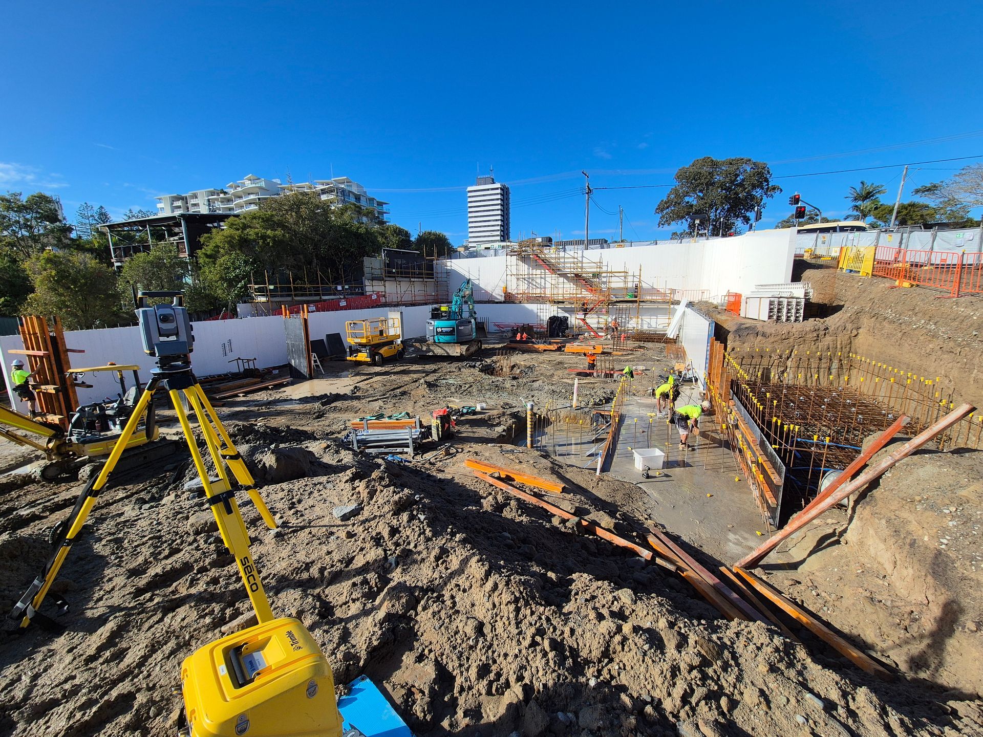
Practical Property Surveying Across the Sunshine Coast
Property surveying plays a critical role in giving land owners, developers and project teams confidence before work begins. At Next Step Surveying, we provide property surveying services on the Sunshine Coast that focuses on accuracy, clarity and real-world usability.
Based in Caloundra and working across South East Queensland, our team understands how boundary and title information is used during planning, approvals and construction, not just how it looks on a plan. That practical understanding helps avoid delays, confusion and costly rework later.
Our approach to property surveying is shaped by what matters most to clients:
- Clear boundary & title information you can rely on
- Survey data delivered to suit planning and development needs
We take the time to understand each site and its requirements before work begins. You’ll deal directly with experienced surveyors who explain findings clearly and flag potential issues early. Our focus is on delivering property surveying that supports informed decisions and keeps projects moving with confidence. To speak with our team about your site or project, call 0494 186 100.
Clear Information For Confident Decisions
Our property surveying services support a wide range of projects, from residential land ownership through to complex development sites. We work closely with consultants, planners and builders to ensure survey information aligns with approval requirements and downstream construction needs.
Each survey is delivered with clarity in mind, making it easy to interpret boundaries, titles and constraints without guesswork. By combining experience with a methodical approach, we help reduce risk and improve coordination across project teams.
Whether you’re confirming boundaries, preparing for development or resolving site constraints, our property surveying services are tailored to suit your scope and timelines. Explore our services to learn more, or get in touch to discuss how we can support your project.
Boundary Expertise
Clear Documentation
Responsive Delivery
Get in Touch
Need reliable property survey information before your project moves forward? Get in touch with our team and we’ll help you take the next step with confidence.
Contact Us
Thank you for contacting Next Step Surveying.
We will get back to you as soon as possible.
Oops, there was an error sending your message.
Please try again later.
FAQ
What is property surveying used for?
Property surveying provides accurate information about land boundaries, titles and physical features of a site. It is commonly used for property purchases, development planning, approvals and resolving boundary questions. Survey results help identify constraints that may affect design or construction. Having clear survey information early can prevent disputes and costly delays later in a project.
When is a property survey needed?
A property survey is often required before buying or selling land, starting a development or preparing plans for approval. It is also useful when boundaries are unclear, structures are close to title lines or changes are proposed to an existing site. Many planning and design professionals rely on survey data before progressing with detailed work. Getting a survey early helps ensure decisions are based on accurate information.
What information does a property survey typically show?
A property survey usually shows boundary locations, title dimensions, easements and other legal features affecting the land. It may also include existing structures, fences and other elements relevant to the site. This information allows designers, planners and owners to understand how the land can be used. Clear documentation helps reduce uncertainty during planning and development stages.